
Walk a Rockledge Street Directory from Address to Evidence
Begin with the place, not a guessed name. The Brevard County Property Appraiser can establish the current parcel, situs address and assessed owner. From there, MapView supplies the surrounding parcel pattern, the Clerk supplies the recorded ownership chain, and other rolls add limited evidence of people associated with the address. This street-by-street sequence keeps unlike facts from being treated as if they proved the same thing.
- Enter the site address in BCPAO Real Property Search and save the account, parcel ID, legal description, assessed owner, situs and mailing address.
- Open BCPAO MapView, zoom to the selected parcel, and click each relevant lot along the street.
- Use the Brevard Supervisor of Elections public-data request when voter-address evidence is germane, while respecting protected rows and missing nonvoters.
- Follow each parcel's sale reference into the Clerk's Acclaim index, then verify grantor, grantee and the same legal description.
- For an older address, consult the Hill-Donnelly volumes in street and house-number order at Central Brevard Library.
The result is an evidence trail, not a household roster. A deed proves a recorded interest, a parcel card names the assessed owner, and a directory names a listed subscriber. Each deserves its own date and source citation.
Search Rockledge Streets in the BCPAO Property Roll
BCPAO Real Property Search is the main public starting point for a modern Rockledge address. Its basic fields locate one parcel, while its advanced controls can narrow a broader set. The Results view can then be opened record by record. These are appraisal fields, so they must not be read as a list of everyone who lives at the site.
| Search control | Useful street task | Important limit |
|---|---|---|
| Site Address | Find a street number and name by situs | Not the owner's mail destination |
| Owner Name | Test a known individual or entity | Trust or company ownership may appear |
| Tax Account / Parcel ID | Return to one exact property | Identifiers are county record keys |
| Subdivision | Group lots within a recorded development | A street may cross subdivisions |
| ZIP Codes | Run a comma-separated postal-area query | ZIP does not equal city boundary |
| Taxing District Codes | Distinguish jurisdiction or district | Confirm against map layers |
| Sale Date, price, year built | Narrow a research set | Appraisal data is not a deed substitute |
A detail card can show the account, owner, mail and situs addresses, legal description, taxing district, use, subdivision, exemptions, values, sales and building facts. Protected values may be suppressed under Florida exemptions.
For a whole-road project, define the segment before collecting results. A named street can cross a subdivision line, a taxing district, or the city boundary. Save each account rather than relying on one loose street-name search, and note condominium unit identifiers when present. The same street label may cover parcels with very different legal descriptions.
Browse Rockledge Parcels Along a Street in MapView
MapView turns a single street directory result into a visual parcel walk. Use Quick Search for an address or account, zoom to the selected outline, click an adjoining or facing parcel, and open Property Details. Keep the Parcels, Blocks, Subdivisions and Labels layers visible when the road crosses a plat boundary.
The viewer also provides aerial imagery, sales-year controls, measure tools and township-range-section context. BCPAO offers public downloads for city boundaries, parcels and condos, PLSS grids, subdivision blocks and boundaries, and parcel centroids with situs. The GIS outlines are approximate; only a survey fixes a legal boundary.
The successful image below comes from the official BCPAO MapView page and shows the county parcel-viewer interface used for this step.
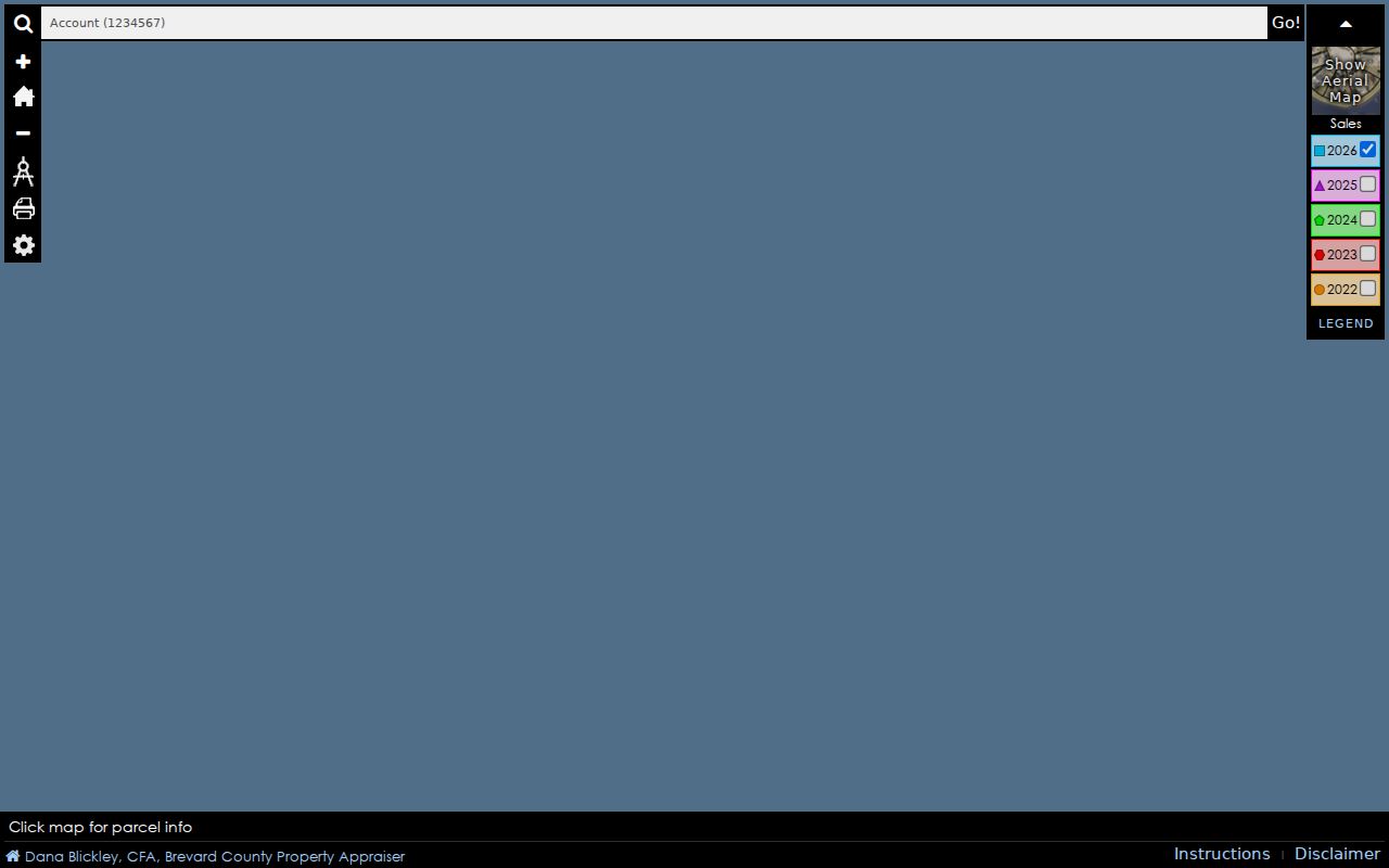
After locating the correct outline, record its parcel ID and legal description before moving into deed or permit systems.
Official Rockledge Records That Work by Street
A Rockledge street directory becomes more useful when the researcher knows which custodian keeps each kind of address evidence. Some sources search a street directly; others require the parcel legal description or a data request.
| Record Set | Keeper | What It Shows | Access |
|---|---|---|---|
| Property roll | BCPAO | Assessed owner, mail and situs, exemptions, sales | Free search, counter or data request |
| GIS parcel map | BCPAO | Adjacent lots, subdivision, blocks and imagery | Free MapView and downloads |
| Deeds, liens and plats | Brevard Clerk | Parties, legal description and recorded chain | Free 1981+ index; earlier books or request |
| Voter public extract | Brevard Supervisor of Elections | Registered addresses and precincts, with masks | Official data request |
| Permits and planning | Rockledge Building and Planning | Site, applicant, owner, work and annexation files | BS&A where indexed; city request fallback |
| Reverse directories | Central Brevard Library | Listed subscriber by address or telephone | Reference shelf; not a name search |
The parcel number and legal description bridge property, plat and deed sources. The standardized street fields bridge appraisal and voter data. Where a portal does not expose an older file, contact the named custodian rather than treating the absence as proof that no record exists.
Move from a Rockledge Address to Lot, Block and Deed
Recorded instruments often key a property by legal description instead of a modern situs address. Copy the subdivision, lot and block, condominium unit, or metes-and-bounds description from the parcel card. In Acclaim, search the current owner as grantee, inspect the purchase deed, confirm the same legal description, and then search the seller as an earlier grantee.
- Parcel
- A mapped property unit with a county account or parcel identifier.
- Situs address
- The physical location assigned to the parcel, distinct from the tax mailing address.
- Plat
- A recorded subdivision map that defines lots, blocks, streets and dedications.
- Criss-cross directory
- A volume arranged by address or telephone rather than by a resident's name.
Acclaim offers name, instrument number, book/page, legal description, document type, consideration and record-date modes. Its online index and permitted images begin January 1, 1981. Earlier deeds call for Clerk research, grantor-grantee books, office records, microfilm or archival catalogs.
Search every reasonable party-name spelling. The Clerk advises surname-comma-given-name form for individuals and omission of “The” and most symbols for businesses. Mortgages show financing, not a transfer of ownership, while a quitclaim may transfer an interest without reflecting an ordinary sale. Instrument type and legal match matter more than a familiar name.
Keep Rockledge Situs and Mailing Addresses Separate
The parcel situs is the physical location, while the owner's mailing address is where tax correspondence goes. If they differ, the mailing line may locate an owner elsewhere but says nothing certain about who occupies the Rockledge parcel. If they match and a homestead exemption appears, the combination strengthens an owner-occupancy inference, yet it still does not identify every resident.
This distinction prevents a common street directory error. Record both fields exactly, label each one, and corroborate any occupancy claim with another dated source. Trust and corporate names require added care because the displayed owner may be an entity rather than a person.
Read Rockledge Voter Addresses Without Overclaiming
The public Brevard voter file has separate fields for street number, suffix, direction, street name and type, unit, city and ZIP. That layout allows a lawful sort by street. The individual voter-status tool requires identifying data and does not browse an entire road.
A voter row confirms registration information, not every occupant or a household relationship. Nonvoters are absent, protected values can appear as “*** Protected ***,” and election participation history does not reveal ballot choices. Obtain the current extract from the Supervisor of Elections and retain its date.
Bridge Rockledge Permits to Recorded Construction Notices
Rockledge Building records can add a project address, owner or applicant, contractor, scope, value and status. Current applications route through BS&A Online, while paper forms and older or omitted files remain available from City Hall. Planning keeps rezonings, variances, special exceptions, annexations, subdivision and commercial site plans, and comprehensive-plan amendments for public inspection.
For a city project valued at $5,000 or more, a Notice of Commencement must be recorded with the Brevard Clerk. That document can connect the permit side to owner, contractor, lender and legal-description evidence in Official Records. The city's permitting-software transition also means that an older permit may survive outside the present portal, so a targeted Building or Planning request is the proper fallback.
Rockledge municipal records can be requested by email, mail, fax, telephone, or in person, and no special form, requester identity, or stated purpose is required. Describe the street address, approximate date, project type, and desired division. That focused description helps staff check a legacy file without turning the request into a guess about a person.
Read Earlier Rockledge Streets in Reverse Directories
Central Brevard Library holds Hill-Donnelly criss-cross telephone directories for all of Brevard County. Confirmed runs cover 1969 through 1985, 1987 through 1989, 1991 through 1999, 2001, 2002, and 2004 through 2006. These books search by address or telephone, not by name.
Find the street alphabetically, scan house numbers in order, record the listed subscriber and telephone, and then cross-check the name in Polk directories, deeds or census material. A subscriber could be an owner, renter, business, or simply the telephone account holder. A missing year or listing does not prove a household moved.
Researchers who need the collection itself can use the Rockledge city directory guide for the exact Polk and Hill-Donnelly shelf runs.
Five Rockledge Geographies Can Describe One Address
A location can carry ZIP 32955, fall inside or outside the Rockledge city boundary, sit in a voting precinct, belong to a recorded subdivision, and fall inside or outside the Community Redevelopment Agency area. Each layer answers a different question. A postal city is not a legal finding of city jurisdiction.
Verify ZIP formatting with USPS, then use BCPAO city-boundary and taxing-district evidence to select the permit or code custodian. Annexation records held by Rockledge Planning can explain why government responsibility changed even though the mailing line did not. Lot, block and legal description remain the safest bridge when labels shift.
Where a Rockledge Street Directory Must Stop
Property records omit renters and most household members. Voter data omits nonvoters and masks protected values. Driver addresses are closed under the federal Driver's Privacy Protection Act, while utility, delivery and customer accounts are not a general public resident roll. “No result” never means “vacant.” It can mean the source does not cover the person, date or record type.
Lawful use. Use Rockledge address records only for lawful personal research, civic inquiry, family history, or property study. Never use them to stalk, harass, threaten, or expose a protected person.
A responsible street directory report states whether a name came from ownership, registration, a recorded party, or an old subscriber listing. It also preserves the source date and sends corrections to the official custodian that created the record.
Keep screenshots or citations with the date searched, since appraisal, voter, permit and directory evidence describe different moments. If two sources conflict, report the conflict and seek the underlying deed, plat, request response, or edition page. Do not smooth over a gap by copying a later result backward in time.