
Rockledge Neighbors Across Public Rolls
A block lookup is built source by source. MapView supplies parcel adjacency. The Property Appraiser gives assessed owners, situs addresses, tax-mail destinations, values, and exemptions. A requested voter extract can show registered addresses with protected values masked. Reverse directories preserve some older subscribers. City permits and planning files add site-specific applicants and projects. None of these sources alone lists every person nearby.
| Block source | What it reveals nearby | How to reach it |
|---|---|---|
| BCPAO MapView | Parcel outlines, adjacency, imagery, lot and block context | Free click-and-browse map |
| BCPAO Property Search | Assessed owner, situs, mailing address, exemptions, and details | Free results and parcel cards |
| Brevard voter extract | Registered residence fields and precincts, with protected masking | Request from Supervisor of Elections |
| Hill-Donnelly directories | Historic subscribers in sequential house-number order | Central Brevard Library shelf |
| City permits and planning | Projects, owners or applicants tied to a site | BS&A where indexed; city request fallback |
| Sunbiz association filings | Entity, agent, officers, and annual reports | Free state index, not a member roster |
An assessed owner is not automatically an occupant. The mailing address may be where a tax bill goes, while the situs is the parcel itself. Matching fields and a homestead exemption can support an owner-occupancy inference, but they do not identify relatives, roommates, or all renters. Describe an owner as an owner and a registered voter as a registrant.
Click Through a Rockledge Block
BCPAO MapView uses a manual but exact adjacent-parcel method. Quick Search the target address or account, zoom to its outline, and keep parcel, label, subdivision, and block layers visible. Click each touching lot and each parcel facing the target across the street. Open Property Details, record the situs and assessed owner, then return to the map. Measure tools can keep a consistent distance when the street pattern is irregular.
No verified one-click buffer export was found. For a larger lawful project, BCPAO publishes downloadable parcels, centroids with situs, city boundaries, subdivision blocks, condo geometry, and PLSS layers. GIS lines are approximate; only a survey fixes a legal boundary. The map still prevents missed rear parcels, corner lots, condominium units, or oddly shaped riverfront tracts.
Rockledge's record geography can change within a short walk. A 32955 mailing line is USPS delivery geography, not a city-limit test. Precinct, subdivision, parcel, and the redevelopment district are separate layers too. Note which layer supports each conclusion. An annexation can move permit or code responsibility from the county to the city without changing the postal ZIP or the physical block.
Map Rockledge Neighbors Parcel by Parcel
Use a repeatable flow so every nearby parcel receives the same treatment. Record facts in separate columns for situs, assessed owner, owner mailing address, and exemption. That layout shows which owners may live on the block and which receive mail elsewhere without claiming either as proof.
- Locate the exact address or tax account in BCPAO MapView.
- Zoom until outlines show the target, touching lots, and facing lots.
- Open each detail card and record situs, owner, mail destination, legal description, and exemption clue.
- Check the city boundary or taxing district before choosing Rockledge or county permit files.
- For the whole road rather than the immediate block, use the street-level workflow.
The Rockledge street directory carries the larger named-street chain. A neighbors search stays close to one address and adds the community layer.
Read Rockledge Voter Address Fields
The individual Florida voter-status form is identity-gated and is not a street browser. For permitted block research, request the public voter-registration extract from the Brevard Supervisor of Elections. Its format separates street number, suffix, direction, street name and type, unit, residence city and ZIP, precinct, district fields, registration status, and election participation history.
Florida keeps some voter fields public, but Social Security numbers, driver or state ID numbers, and the registration source are not released. A signature may be viewed but not copied. Protected addresses appear as “*** Protected ***.” Participation history shows that a voter took part, never the ballot choices.
The Brevard voter file format documents the fields used for a lawful block sort.
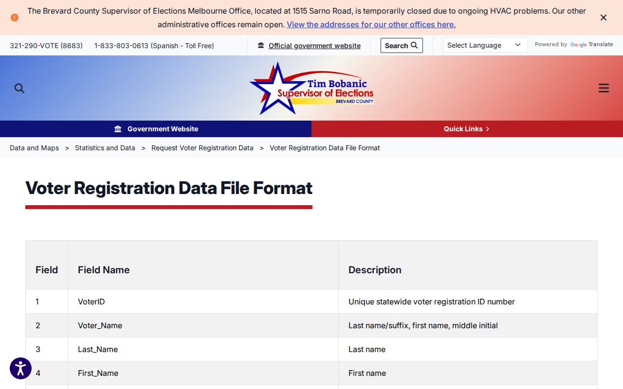
The field layout helps sort exact street parts without treating a shared address as proof of a family tie.
The Brevard voter data request page supplies the official request route.
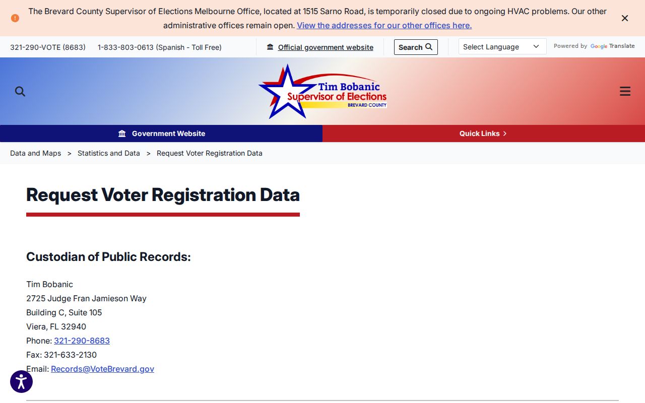
Phone and in-person public-record requests remain fallbacks. A nonmatch may reflect wrong data, cancellation, another county, protection, or no registration, not an empty home.
See Earlier Rockledge Neighbors
Central Brevard Library holds countywide Hill-Donnelly criss-cross telephone directories for 1969-85, 1987-89, 1991-99, 2001, 2002, and 2004-06. They search by street address or phone, not by name. Open the proper year, locate the street, and scan the house numbers around the target. Then cross-check a subscriber in a Polk directory, deed, census, or obituary.
This is one of the clearest ways to rebuild a past block, but gaps matter. An absent entry could mean a missing volume, an unlisted or mobile subscriber, a renter change, or a postal shift. It is not proof that prior Rockledge neighbors moved. The library catalogs Rockledge within the Cocoa-area Polk run, so search regional titles rather than only the city name.
For 1950 and earlier, federal census schedules can restore a household context that a phone directory cannot. Florida's surviving state censuses extend through 1945. Pair a dated schedule with deeds, tax rolls, newspapers, church or cemetery records, and probate. Each is a snapshot. Do not force two close names into one identity unless ages, relations, addresses, and dates agree.
Rockledge Community Contacts, Not Rosters
No official comprehensive neighborhood-association directory or named HOA inventory was verified for Rockledge. Public sources still identify organizations and public contacts without exposing private membership. Search a subdivision or condominium name in Sunbiz, inspect annual reports, and distinguish the registered agent from an officer or owner. A corporate filing is never a homeowner list.
| Community source | Public evidence | Private boundary |
|---|---|---|
| Sunbiz association filing | Entity status, agent, officers, addresses, reports | Homeowner membership |
| Rockledge boards and meetings | Officials, contacts, agendas, records | Unpublished resident lists |
| Community Redevelopment Agency | Plans, resolutions, officials, project geography | A household directory |
| Chamber or business group | Published member firms and business contacts | Residential identity |
| Clubs, congregations, block watch | Only contacts or rosters voluntarily published | Unpublished membership |
The Community Redevelopment Agency began in 2002 and defines a project geography distinct from ZIP, precinct, subdivision, and the city boundary. Public plans can explain work around a block, but they do not identify all neighbors.
Rockledge Building and Planning records can add another public-facing layer. Permits may show an owner, applicant, contractor, project scope, and status. Planning files cover annexations, subdivisions, variances, and site plans. Because the city is moving permitting software, an older project may survive only in an archived file. Request the address-specific record by phone, mail, email, fax, or counter rather than treating a portal miss as no work.
Official Rockledge Neighbor Rolls Compared
Commercial neighbor tools blend public, purchased, and marketing data. They can lag moves, merge people with similar names, and confuse a parcel owner with an occupant. Official sources are narrower, yet each has a named custodian and a clear record purpose.
| Source type | Strength | Main limit |
|---|---|---|
| Property and GIS records | Current parcel identity and assessed owner | Not a resident roster |
| Official voter extract | Defined public fields and dated status | Omits nonvoters and masks protected data |
| City and state filings | Traceable custodian and document context | Names often reflect a public or business role |
| Commercial compilation | May gather broad leads | Nonofficial, stale, merged, and hard to verify |
Use a commercial compilation only as an unverified lead, honor removal choices, and confirm every material fact with the office that created the record.
Use Rockledge Radius Search Carefully
FDLE provides a neighborhood address-radius mode for the Florida Sexual Offender and Predator Registry. It accepts an address, city, ZIP, and radius, and official material describes searches up to five miles. This tool has a narrow safety purpose. Registry data changes quickly and fingerprint comparison is required for positive identification.
The FDLE registry search is the official name and geography interface.
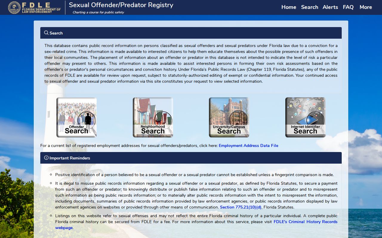
Do not generalize registry results into a directory of all people on a block or alter, misstate, threaten, or harass anyone with the information.
The Florida Division of Elections public-record explanation shows the separate voter privacy rules.
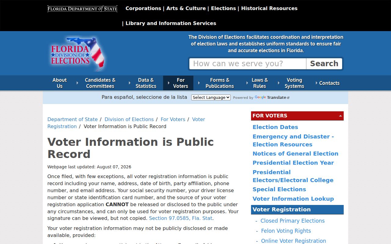
Keeping the registry, parcel roll, and voter file in their separate roles is essential. One source cannot fill another source's gaps.
Limits Around Rockledge Neighbors
Public records do not reveal every renter, child, relative, roommate, utility customer, delivery account, or private-group member. Driver information is restricted by federal law. Florida's Address Confidentiality Program can substitute an address for qualifying victims of domestic violence and stalking, while other statutes protect specified officials, occupations, and family details. Custodian redaction is not a clue to work around.
A blank, protected, or absent field says only that the public source did not return a value. It does not show vacancy. Contact the source custodian to correct a wrong official record, and allow for delays before downstream copies update.
Florida Public Records Law permits requests for existing nonexempt records without requiring a reason, a written form, or requester identification in the usual case. It does not require an agency to create a new block analysis or answer research questions. Ask for a specific permit, filing, voter-data product, or recorded instrument. The custodian may redact protected portions and release the rest.
Lawful use. Look up Rockledge neighbors for civic curiosity, reconnection, or personal safety. Never watch, threaten, intimidate, or harass someone with public data.