
Rockledge ZIP Coverage at a Glance
Official Rockledge city addresses and records consistently support one verified general-delivery ZIP code. The research did not verify a separate Rockledge PO-box-only code, unique institutional code, named post-office station, or dated ZIP split. That absence should not be filled with nearby codes simply because central Brevard communities touch one another.
| ZIP | Area represented | Postal evidence | Important limit |
|---|---|---|---|
| 32955 | Rockledge delivery geography and nearby postal territory | Used by city facilities and official records | May extend beyond the municipal boundary |
The Rockledge ZIP code directory therefore centers on 32955 without claiming that every address carrying the name Rockledge belongs to the city. USPS can standardize a single mailing address. The Brevard Property Appraiser and city planning records answer the separate question of legal jurisdiction.
Verify a Rockledge ZIP First
Enter the complete street address in the official postal tool before filtering a public roll. USPS standardization can confirm the city line used for mail, the ZIP code and the more specific ZIP+4 when available. It does not establish a city tax district, precinct, subdivision, parcel ownership or land description.
The USPS address lookup is the source for a standardized postal result.
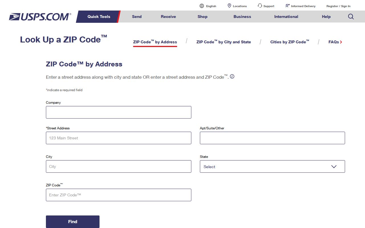
Keep the exact returned format, including apartment or unit information. A condominium may share a street address while each unit has its own parcel and legal description. For an address not recognized by USPS, confirm spelling and unit format, then contact the addressing authority rather than guessing at a nearby code.
Find Rockledge Residents by ZIP
The Brevard Property Appraiser Real Property Search accepts ZIP as a multi-value field. This makes it the strongest official ZIP-wide starting point for parcels. Results can be narrowed with site address, owner name, account number, parcel ID, subdivision, city or taxing district. The returned owner and mailing fields support assessed ownership and tax contact, not automatic proof that the owner occupies the property.
- Confirm the full address and postal code through USPS.
- Enter 32955 in the Property Appraiser ZIP field, then add a city or taxing-district filter when legal Rockledge parcels are the goal.
- Open the parcel details and note the situs, owner, mailing address, parcel number, subdivision and sale references.
- Use MapView or downloadable city-boundary data to check jurisdiction, then narrow to a street when needed.
- For voter research, use the personal status lookup or request lawful public data with its residence-ZIP fields.
Once the list is narrowed, the Rockledge street directory explains how to move from a street address to parcels and deeds.
Rockledge ZIP Property Filters
The property portal combines postal and land-record fields. That mix is useful because ZIP alone may gather both city and unincorporated parcels. A taxing district or city field can test the legal boundary, while parcel and subdivision fields preserve a stable link when postal wording changes.
| Portal field | Input type | Use in a ZIP search |
|---|---|---|
| Site Address | Street number and name | Finds the physical parcel location |
| Owner Name | Last name first; company or trust accepted | Narrows parcels tied to an assessed owner |
| ZIP | Multi-value | Filters situs ZIP codes |
| Account or Parcel ID | Identifier | Targets one known property |
| Subdivision | Name or code | Groups land by recorded development |
| City or Taxing District | Filter | Tests jurisdiction beyond postal naming |
Property results can show account and parcel IDs, owner and mailing address, situs, legal description, sale history, values, exemptions and structure data. Homestead is an occupancy clue, but it is not a current household roster. Renters usually do not appear as assessed owners.
Rockledge Voter ZIP Fields
Brevard voter data treats residence and mailing addresses as separate structures. Public-file fields can include residence street number, direction, street name, type, suffix, unit, city, state and ZIP, plus a formatted mailing address and mail ZIP. The file may also include precinct, registration status, party and voting-history dates. It never reveals ballot choices.
Florida's public and private split still applies. Social Security numbers, driver or state identification numbers and registration source are not public under Fla. Stat. §97.0585. Signatures are view-only, not copyable. Protected voters may have masked addresses, and nonvoters will not appear at all. A missing row is not proof that someone left Rockledge.
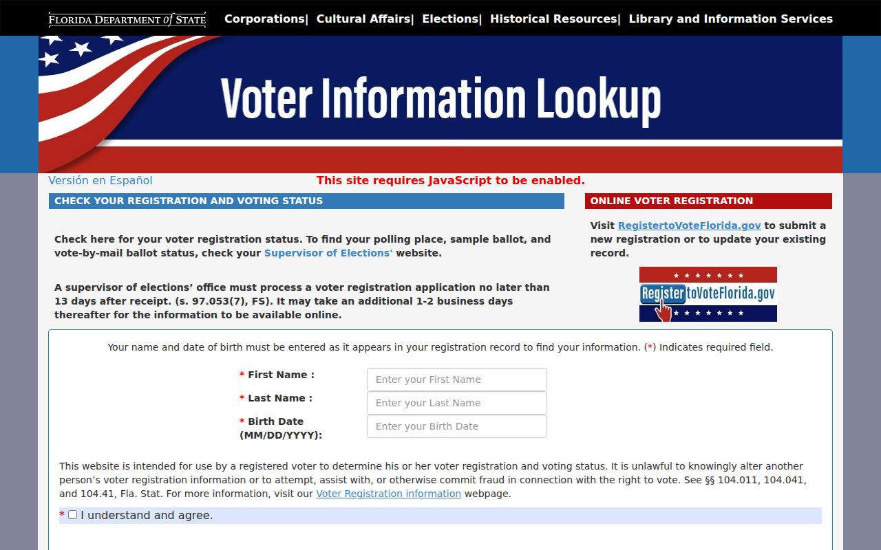
The Florida voter-status search is the identity-gated route for one registration.
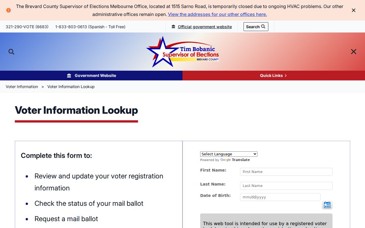
The Brevard County voter gateway provides the local starting point.
Rockledge ZIP and City Boundaries
A 32955 mailing address does not prove that the parcel is inside Rockledge. USPS draws delivery geography. The city boundary controls municipal jurisdiction, and the Property Appraiser's city or taxing-district fields can test it. A precinct is election geography. A subdivision, lot and block are land-record geography. The Community Redevelopment Agency is yet another district, created in 2002 for a defined redevelopment area.
- ZIP code
- A USPS delivery area, not a city boundary.
- ZIP+4
- A finer postal routing code for a block, building, firm or group of addresses.
- PO-box ZIP
- A code reserved mainly for post-office boxes. None was verified as a separate Rockledge code.
- Unique ZIP
- A code assigned to a high-volume institution. No Rockledge example was verified.
- Carrier route
- A postal delivery path within a ZIP, not a land parcel or voting precinct.
This five-geography problem explains many apparent mismatches. The same place may be 32955 for mail, outside city limits for permits, inside a named precinct for elections, within a recorded subdivision for deeds, and outside the redevelopment district. State which layer produced each result.
Read Rockledge Land Beyond ZIP
Land records use a deeper set of geographic keys. The Public Land Survey System identifies township, range and section. A subdivision plat divides recorded land into blocks, lots and tracts. The Property Appraiser assigns an account and parcel identifier, while the deed carries a legal description that can survive changes in postal naming. Condominium units require unit-level descriptions rather than a building's shared street label.
BCPAO MapView can locate a parcel and display surrounding parcels, imagery and selected layers. Its Details link returns the property record. Downloadable county data includes parcels and condominiums, city boundaries, subdivision blocks and boundaries, parcel centroids with situs, and Public Land Survey System layers. Those datasets allow a researcher to test what the interactive map suggests. Protected or proprietary values remain excluded.
When two sources disagree, compare their dates and purposes. A new mailing format may reach USPS before a parcel label changes. An annexation file may establish city jurisdiction while a tax screen still reflects an earlier cycle. A deed may omit the common street address but preserve the lot, block and subdivision. The legal description is often the best bridge from one record system to the next.
Growth Behind Rockledge ZIP Records
U.S. Census QuickFacts estimated 31,343 Rockledge residents on July 1, 2025, a 13.2 percent rise from the 2020 estimates base. The 2020 census counted 27,678 people, compared with 24,926 in 2010. Growth can add subdivisions and annexed land without creating a new citywide postal identity. That is why current boundary data matters more than assumptions based on an old envelope.
Central Brevard also functions across city labels. Records may connect a Rockledge address with Cocoa, Viera, Merritt Island or Melbourne offices and collections. The principal court and election campus is in Viera, while the countywide property and voter systems cover far more than one municipality. A Rockledge ZIP code directory narrows the data, but the custodian and jurisdiction fields finish the search.
Limits of a Rockledge ZIP Lookup
ZIP-wide results are leads, not a household list. Property records omit most renters and may show a distant tax mailing address. Voter records omit nonvoters, mask protected addresses and keep several identifying fields private. Reverse directories are organized by street or phone, not ZIP, and their missing years cannot prove a move.
Use the narrowest official source for the claim. USPS proves postal formatting. The Property Appraiser supports parcel and assessed-owner facts. MapView supports visible parcel and district context. Elections data supports registration within its statutory limits. Planning annexation files explain a custodian change. That separation keeps the ZIP code directory useful without giving postal geography authority it does not have.
Boundary check. Confirm a Rockledge postal result in parcel or city GIS data before claiming that an address lies within city limits.